Artesian wells in Kärdla
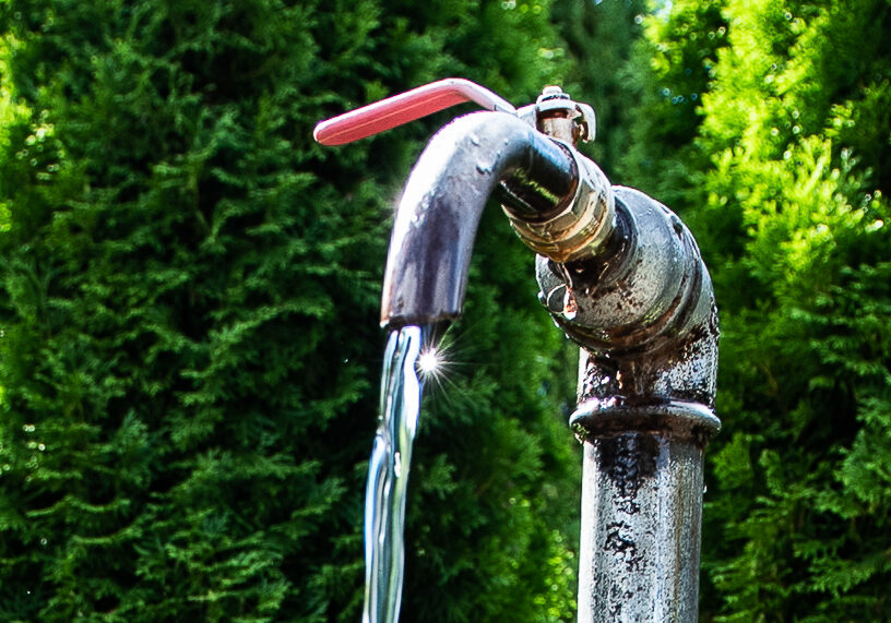
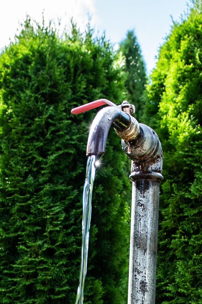
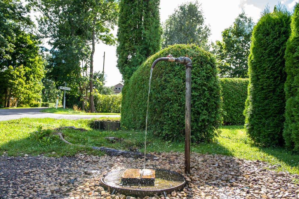
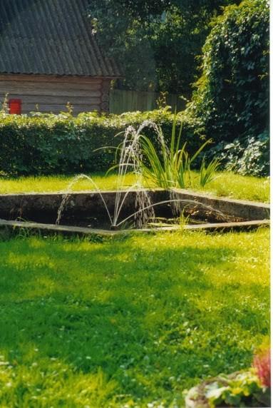
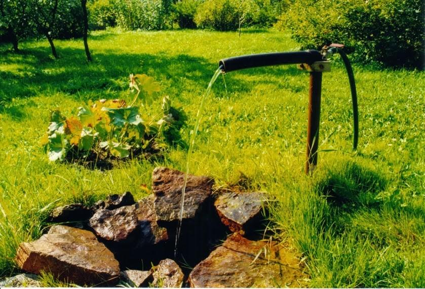
The town of Kärdla is situated in the crater of a meteorite that hit the area about 455 mil- lion years ago during the Middle Ordovician period. The falling speed of the ‘star’ was about 20 to 30 kilometres per second and in a couple of centiseconds, it penetrated the water and the seabed and exploded at a depth of about 200 metres in the soil deposit at the seabed. The explosion, which equalled the power of 8000 nuclear bombs dropped on Hiroshima, moved the limestone plateaus at the bottom of the seabed slantwise upwards and this way created the Artesian wells or pressurised groundwater in the town of Kärdla. Rain water absorbs easily in the areas on top of the dome – Linnumägi, Antonimägi and Paluküla, where fissured limestone is covered only with a thin layer of soil and from there, it rapidly runs towards the lower areas of Kärdla. Where the limestone bed residing lower is covered with waterproof deposits (varved clay), the groundwater is pressurised; when the protective layer of varved clay is drilled through, the groundwater bursts out like a fountain and keeps flowing as a reach – Artesian water.
This is why there are many Artesian wells in the north western and western part of Kärdla, in particular in Tiigi and Aia Streets.
In the depths of the Kärdla meteorite crater, mineral water of very high quality was found too; it contains about 3 to 4 grams of solute mineral salts rich in Cl-Na-Ca per litre and also some bioactive components (bromine and iodine). This mineral water with medicinal quali- ties was produced here until 1991. (Deeper down, at 500 to 815 metres, the drilled well pro- duces mineral water with a mineral content of up to 16 grams per litre).
Gallery
It is a waypoint on the journey
Sorry, this object is not part of any journeys
You might also be interested in:

